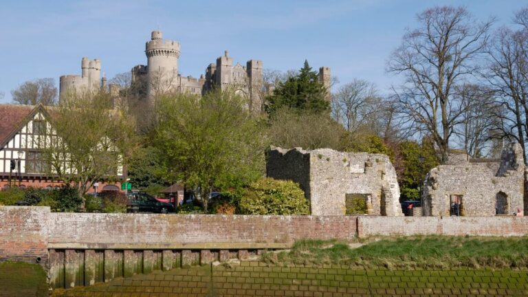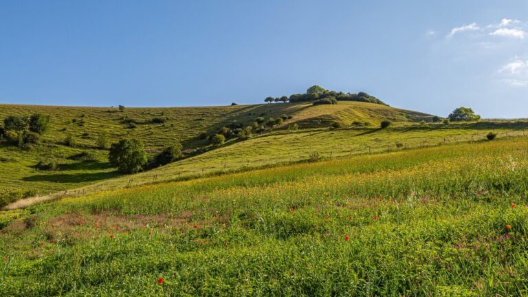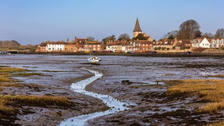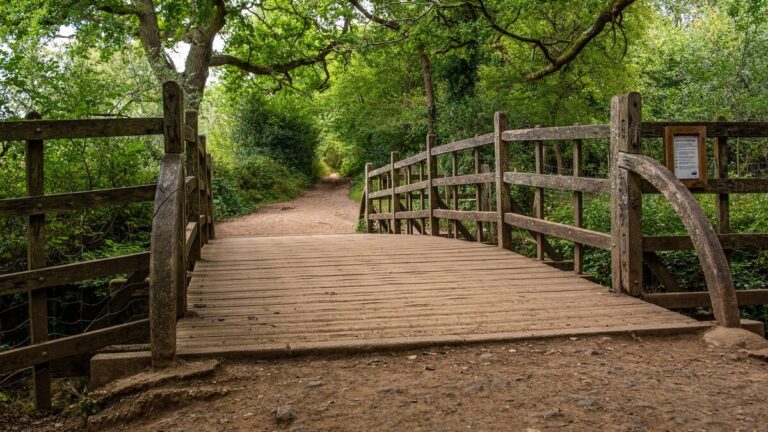














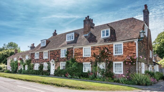
Winchelsea’s cottages and church make an early stop on this 6.5-mile circular. From the town, the walk crosses farmland before dropping to Pannel Valley and returning along the Royal Military Canal. The flat canal section comes near the end, after the climbs and stiles.
Distance and walking time
| Option | Distance | Walking time |
|---|---|---|
| Winchelsea town and Beacon, from the church | About 0.75 miles / 1.2 km return | 20–30 minutes, plus stops |
| Station, Pannel Valley and canal circular | 6.5 miles / 10.5 km · stiles and A259 sections | About 3–3½ hours, plus stops |
Times are planning estimates. Short distances are rounded from the mapped walking line. Allow extra time for stops, conditions and your pace. Council circular walk · National Trust town map and Beacon directions.
From the station to Winchelsea
The county council’s route starts at Winchelsea railway station. Follow the map along Station Road, then use the signed path near the A259 to climb into town. The route crosses the main road on its way to Mill Road. Pause in the centre for the church and its ruined stone arches before leaving the streets behind.

Across the fields to the canal
Pick up the waymarked path towards Wickham Manor Farm and follow the council’s map across the fields towards Windmill Lane. Beyond Ashes Farm the route drops into Pannel Valley Nature Reserve. The council map marks a bird hide beside the Pannel Sewer, a good point to pause before the canal section.
After the reserve footbridges, the route turns onto the Royal Military Canal for about a mile and a half. Look for the bends in a waterway built as a defence against a feared Napoleonic invasion. The last stretch returns to Station Road via the A259, so keep the route notes handy even after leaving the canal.
Getting there and what to bring
Use National Rail to check which trains stop at Winchelsea and plan the return before leaving home. The station is outside the town. If you start from the town instead, join the same circuit there and use the map to follow the station section. Expect stiles, muddy fields after rain and stretches beside or across busy roads. Download the council PDF before you go.
Step-by-step directions
- From the station, turn right onto Station Road. Near the A259, use the short verge section and take the signed footpath by the Southern Water entrance. Cross the stile and footbridge shown on the council map.
- Follow the field edge uphill into Winchelsea and cross the A259 to Mill Road. Continue via Hiham Green into town. For the short town option, start at the church and follow Mill Road west to the Beacon, then retrace your steps.
- For the full loop, leave town on the council’s signed route via the roadside stile. Keep to the waymarks through the fields past Wickham Manor and towards the windmill, then take Windmill Lane.
- Cross the junction and follow the mapped field edge behind Ashes Farm into Pannel Valley. After the first footbridge follow the Pannel Sewer past the bird-hide entrance.
- Cross the next two footbridges and turn left onto the canal path after the second. Follow the canal to the road, then use the council map for the A259 and Station Road sections back to the railway station.
Parking, toilets and accessibility
Parking
The National Trust lists on-street parking in Winchelsea. Park only where signs permit and keep residential entrances clear. The railway station is outside town, so the town-only walk is easier to start from the church or the bus stop.
Toilets
Rother District Council lists a public accessible toilet open to all users in Winchelsea town, TN36 4EX. Use it before the field and canal sections. Rother toilet directory.
Access and surfaces
The full loop has several stiles, a climb into town, field paths and A259 crossings or roadside sections. The town streets offer a shorter option, but the Beacon outing still crosses the A259. A stroll around the church and the central grid of streets avoids that crossing. Check kerbs and surfaces at each turn.
Route map
Winchelsea church to the Beacon
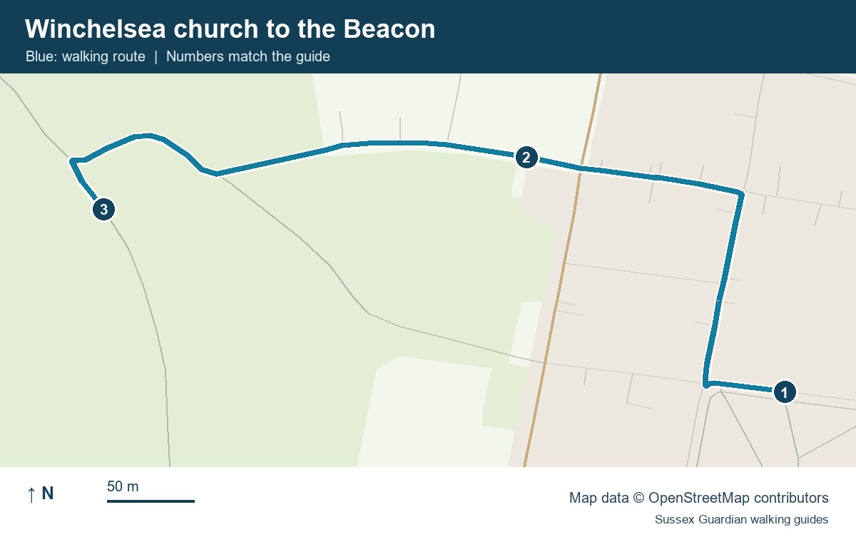
- Church of St Thomas
- Mill Road and the A259 crossing area
- The Beacon, the turnaround
Winchelsea circular waypoints
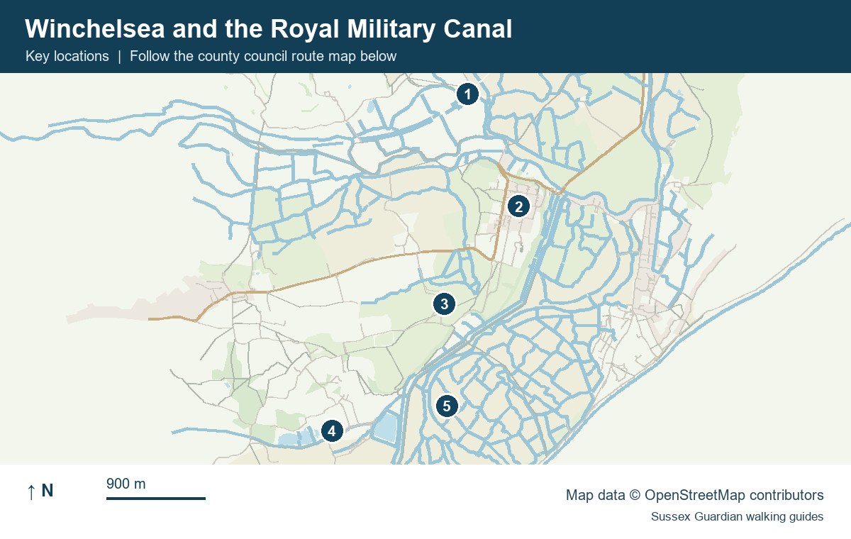
- Winchelsea railway station
- Winchelsea town centre
- Wickham Manor area
- Pannel Valley Nature Reserve
- Royal Military Canal return leg
East Sussex County Council route map and directions
For more coastal and countryside routes, see our guide to walks in Sussex.
You May Also Be Interested In